FEMA Flood Study AnalysisWorld's Fair Park Overflow
2018 Engineering Excellence Grand Award, Studies, Research and Consulting Category ACEC Tennessee
According to FEMA mapping from 2013, the area that contains World’s Fair Park would be theoretically inundated with 11-Feet of flood waters under the 500-Year Flood event. But something about the mapping just did not “feel” right. After extensive review of both the lay of the land, and comparing this with the 2013 model results, it was clear that something was wrong in the model.
In fact, the model showed a downstream obstruction to overland flow that was, in actuality, not there. Consistent throughout this project’s history, Commercial & Investment Properties and the City locked arms to revisit the model and its initial conclusions. Everyone took the necessary steps − at the Local, State and Federal Levels − to assure that remodeling was justified, undertaken in accordance with FEMA requirements, and that a Map revision was therefore justified. The results of this speak for themselves.
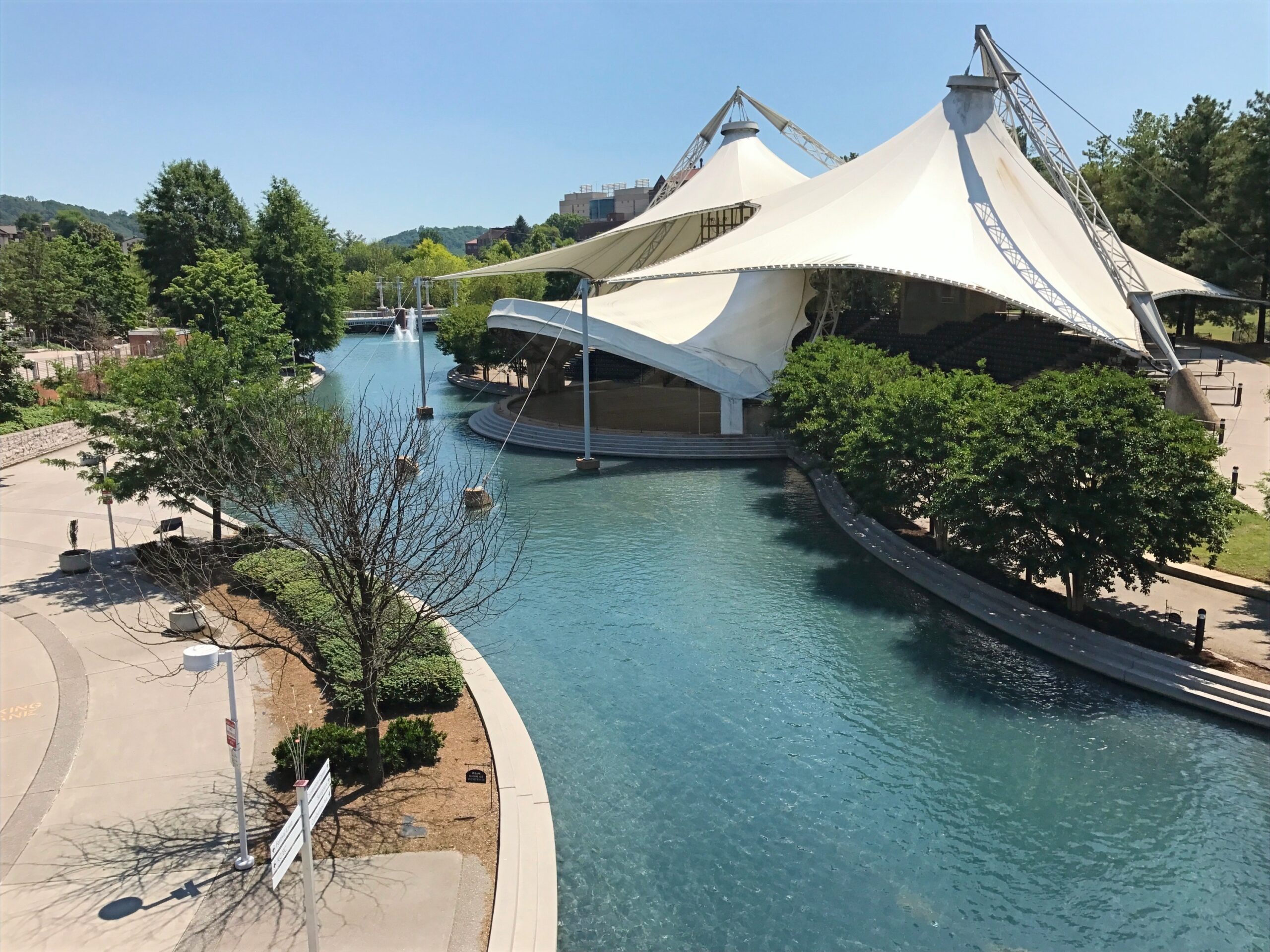
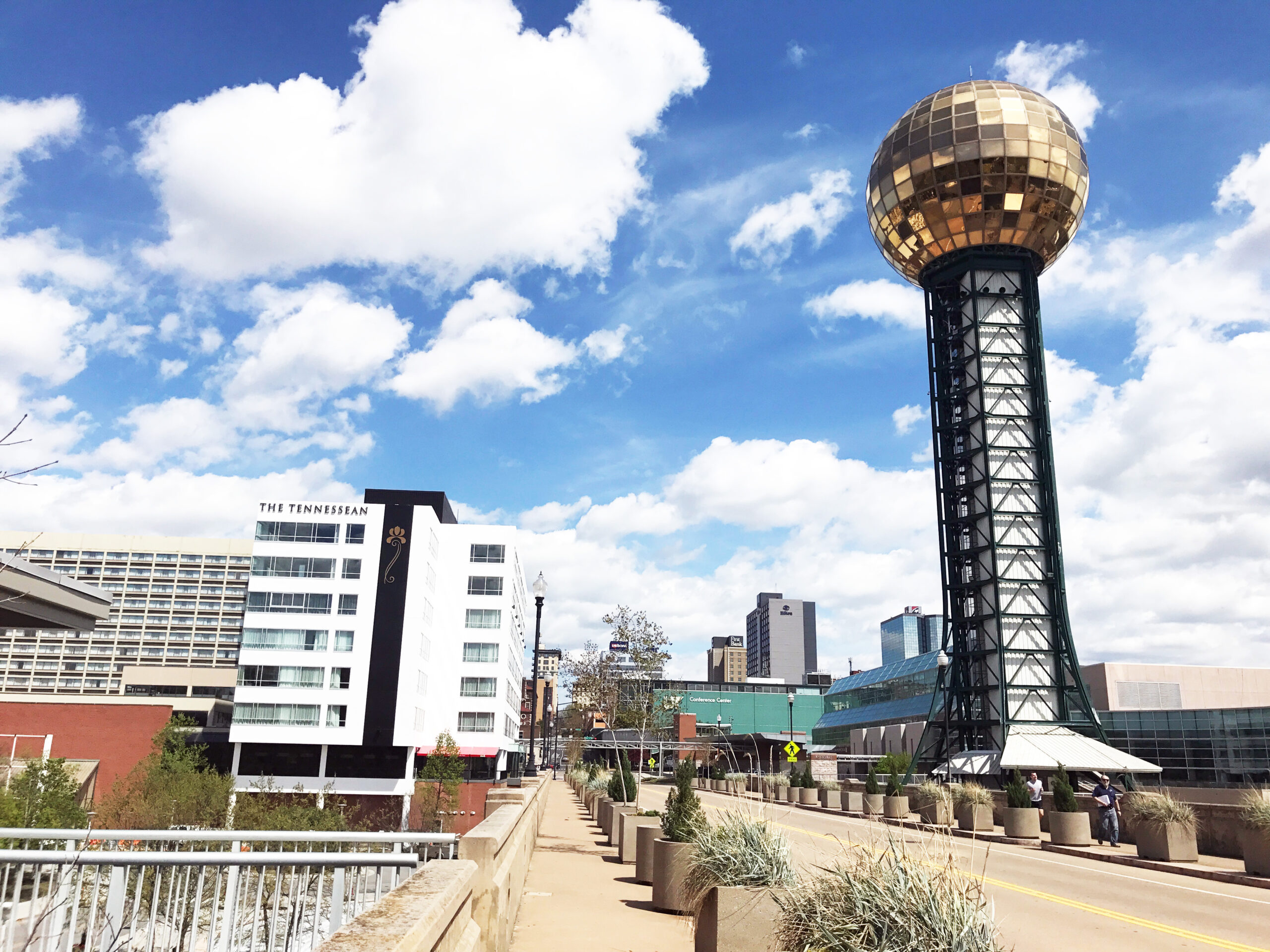
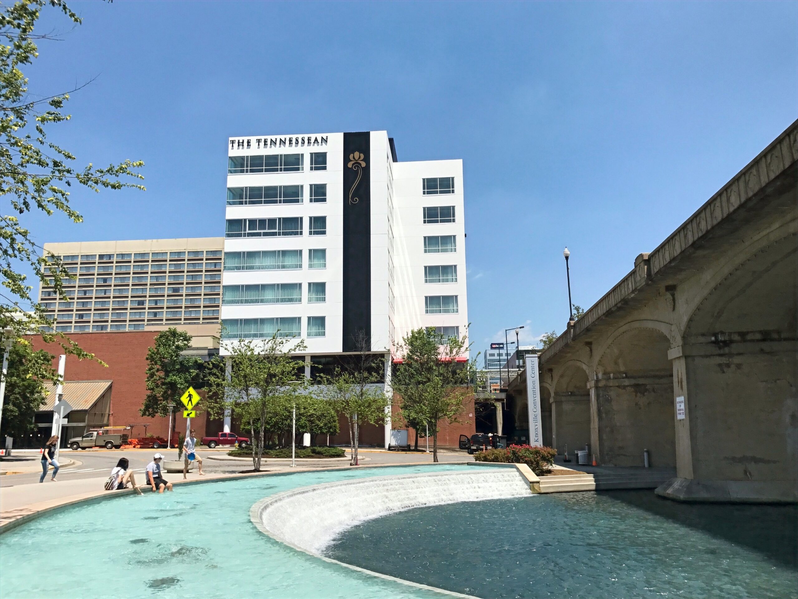
CCI was commissioned by the City of Knoxville and Commercial and Investment Properties, Co. to evaluate the existing FEMA Flood Insurance Map (FIRM) and HEC-RAS model for Second Creek in the vicinity of The Tennessean building and Holiday Inn within the World’s Fair Park.
CCI developed a separate HEC-RAS model to provide a more accurate method for mapping the overland flow (bypass at existing box culvert) and the 500-year floodplain boundaries within World’s Fair Park. Based on the results of the analysis, a Letter of Map Revision (LOMR) was issued by FEMA to correct inaccuracies in the previous mapping.
LOCATION
Knoxville, TN
MARKETS
Environmental
Services
Civil Site
Environmental